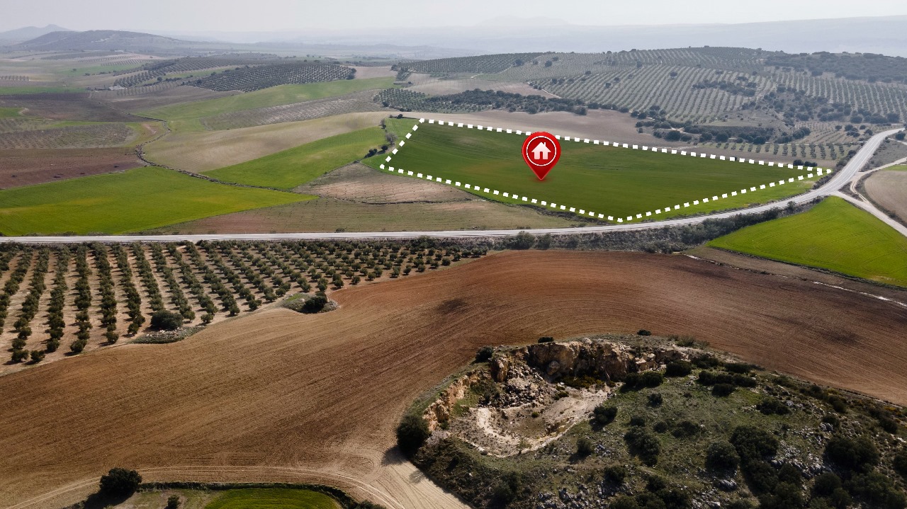
Survey & Mapping
Our aerial surveying services support land management and development, land slope monitoring, stockpile volumetric measurements, smart city design, and mapping greenfield projects. With state-of-the-art surveying drones and a team of expert licensed pilots, we deliver results quickly and efficiently to our clients.

Asset Inspection
Our drone inspections enable rapid data acquisition from hard-to-reach areas, minimizing risks, cutting costs, and reducing the need for extensive manpower. Equipped with high-resolution RGB and thermal sensors, our drones can detect visual defects and damage in flare stacks, chimneys, pipelines, and oil and gas facilities. Additionally, they provide under-bridge and roof inspections with precision and efficiency.
- Solar Panels
- Wind Turbines
- Industrial Assets
- Telecom Towers

Data Processing
We transform our drone data into various topographical maps, including Digital Terrain Models (DTM), Digital Surface Models, Contour Maps, Orthomosaic Maps, and more. This allows our clients to access drone services quickly and cost-effectively. Additionally, our drone services enhance industries by enabling sound, data-driven decision making.

Project Consultancy
Empower your innovation journey with our project consultancy services tailored to every aspect of technology development.From ideation to implementation, unlock your project's full potential with our expert guidance and support.
Hardware : Product Design, PCB Design, Firmware Development, Mechanical Manufacturing.
Software : Dev Ops, Web Application, Mobile App, Standalone Softwares.